Start with one real trip.
Use the setup path to turn an upcoming run into a route, map, waypoint, and weather-window plan.
Fish Fathom turns bathymetry, bottom structure, weather windows, private spots, routes, and Captain Brad into one AI fishing planner from first setup to post-trip review.
Premium from $5.99/mo or $44.99/yr. Built for anglers who plan before they run.
Fish Fathom is a planning companion. Keep required navigation and safety equipment onboard.
Use the setup path to turn an upcoming run into a route, map, waypoint, and weather-window plan.
Watch the product demo if you want to see the full workflow before installing.
Premium is for anglers who want better pre-trip filtering before fuel, bait, time, and crew are committed.
Fish Fathom should feel tangible before a visitor leaves the website. These product screenshots and public store links connect the landing-page promise to the app pages where current reviews, screenshots, and privacy details live.
Screenshots show map layers, Captain Brad, catch history, and offline prep instead of generic fishing art.
App Store and Google Play pages stay one click away for current screenshots, version details, privacy labels, and reviews.
Fish Fathom supports trip decisions and is not a substitute for required navigation, regulations, safety gear, or local judgment.
The best-fit customer is already weighing structure, depth changes, water edges, routes, private waypoints, and weather windows before committing fuel and time.
Download your area first, then mark waypoints, build routes, and layer in map context for the trip.
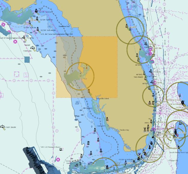
Download map areas before leaving service so chart context stays available offshore.
Learn more →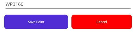
Save, tag, organize, and share selected waypoint files with AirDrop, Quick Share, or GPX export.
Learn more →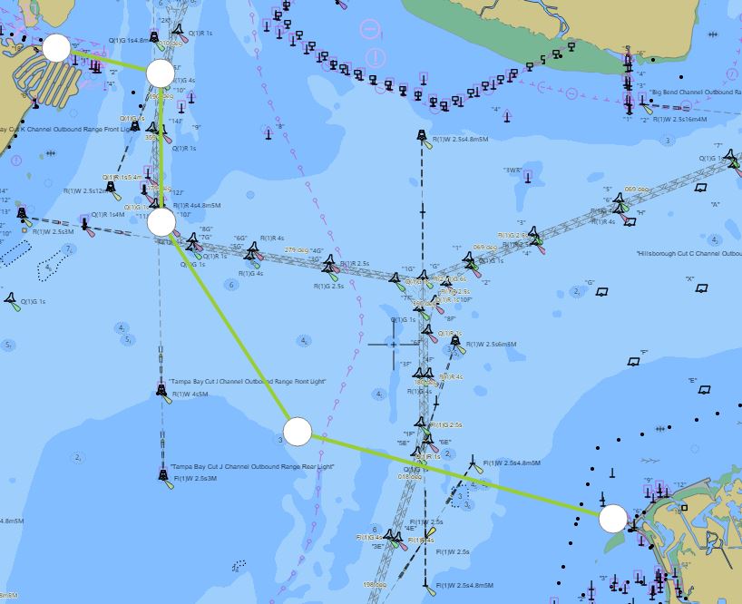
Create routes, track position, and keep your plan organized on the water.
Learn more →
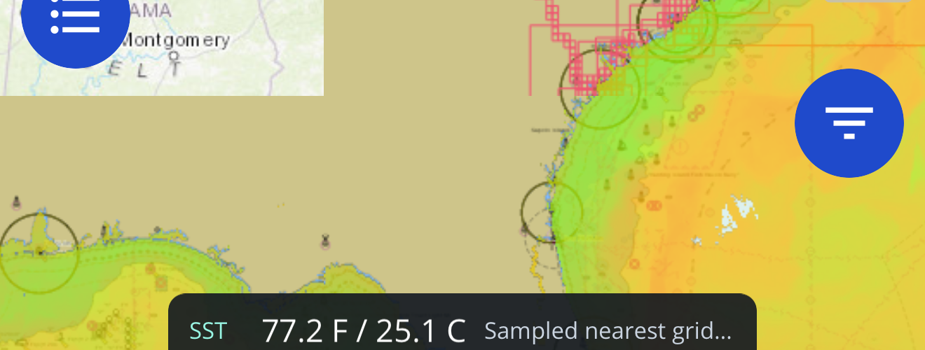
Study depth changes, structure, contours, and relief before choosing your trip plan.
Learn more →Overlay NOAA-backed sea-surface temperature and offshore context on your map.
Learn more →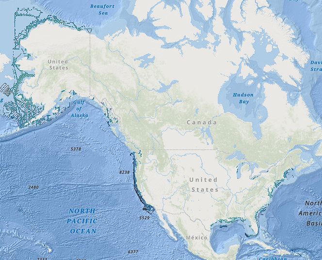
See underwater structure with high-definition relief shading where coverage is available.
Learn more →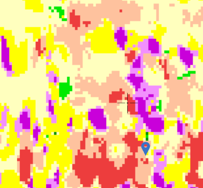
Compare seafloor substrate context when evaluating reef, ledge, and hard-bottom areas.
Learn more →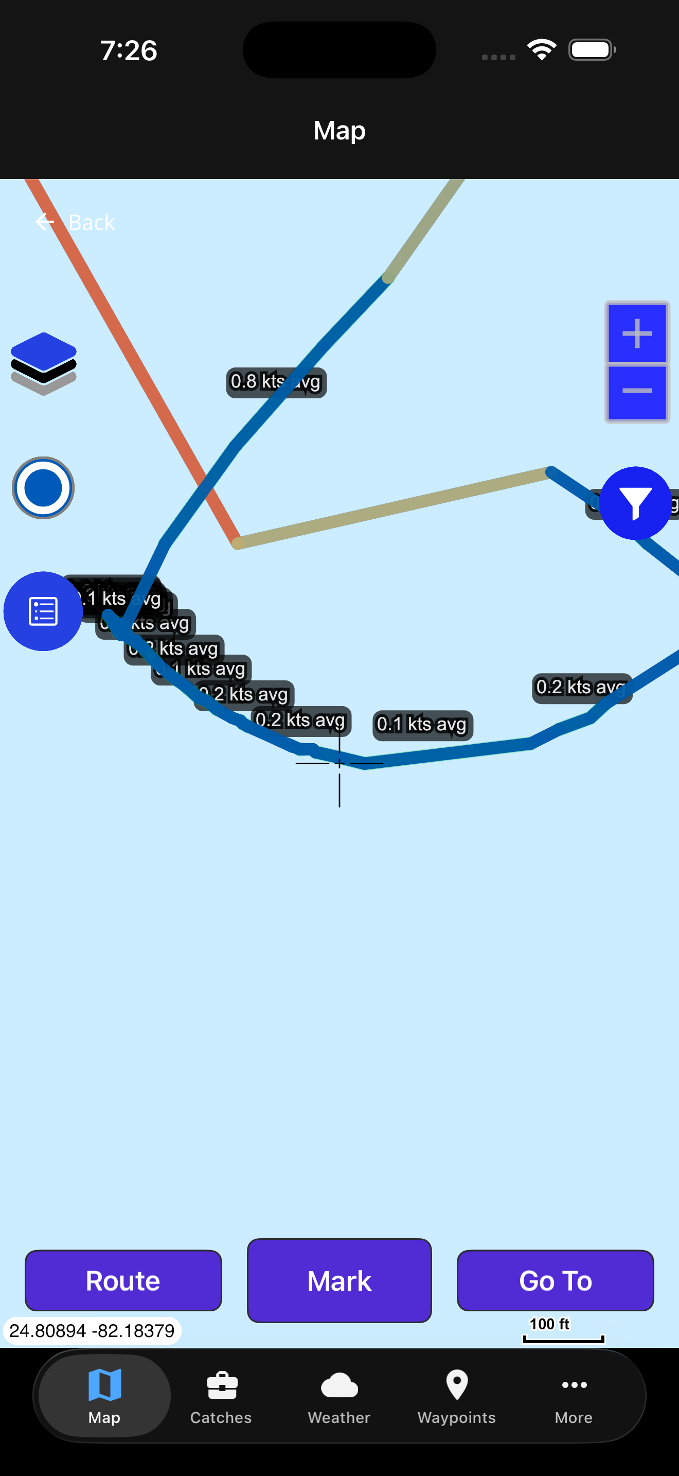
Review commercial fishing vessel track context as another planning signal.
Learn more →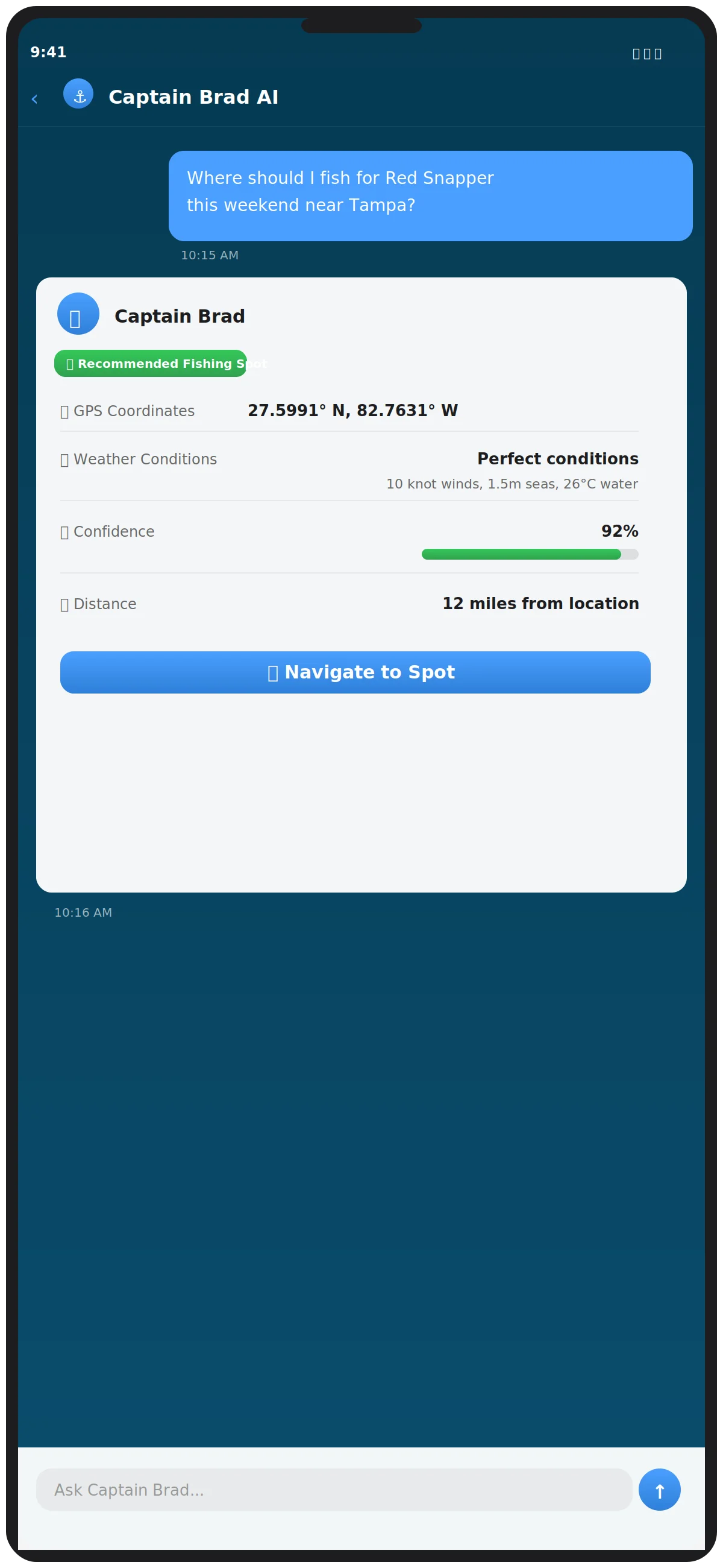
Ask practical trip-planning questions about species, timing, bait, and conditions.
Learn more →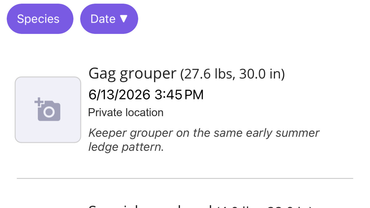
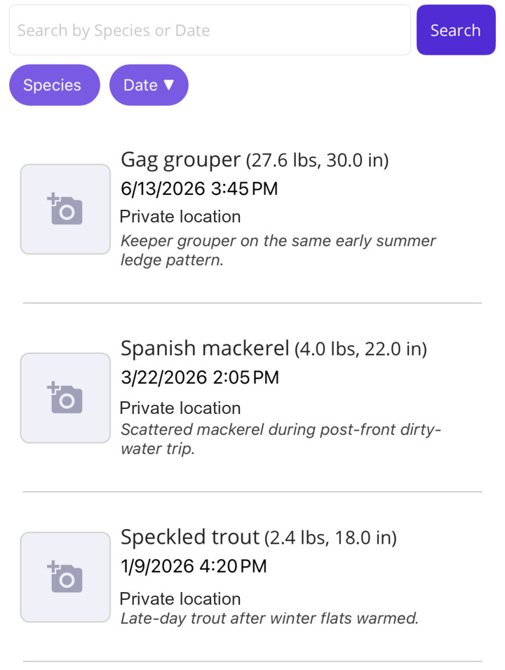
Log catches and review your own historical patterns without making your spots public.
Learn more →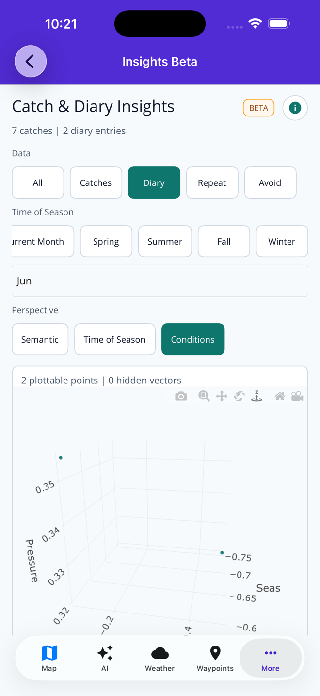
Compare catch logs and diary notes with semantic slices for season, outcome, and conditions.
Learn more →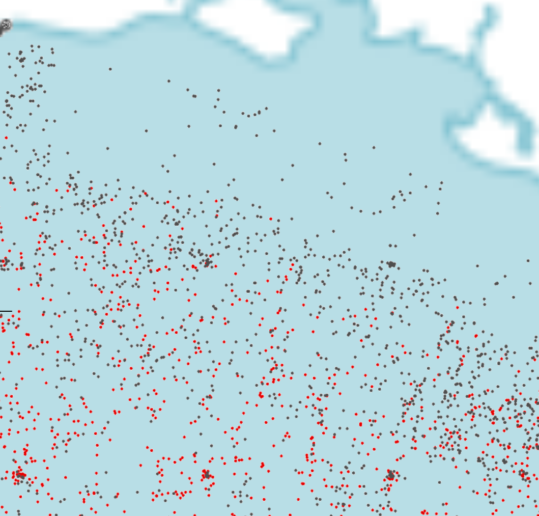
Use government survey context as one more planning input.
Learn more →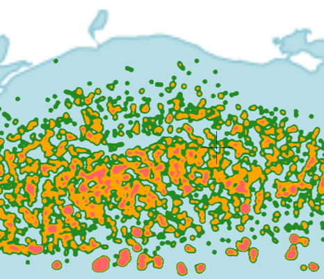
Use modeled fishing zones as planning context, not a promise of exact results.
Learn more →Waypoints, routes, catch logs, diary entries, and Captain Brad conversations are private to your account. Fish Fathom does not sell them, publish them, or use them to train AI models.
See the spot privacy proofYour history can help answer your own planning questions without becoming training data.
Your saved coordinates are not turned into public heat maps or crowd-sourced fishing spots.
Premium access funds the app. Personal fishing data is not the product.
Casual browsing, social feeds, or ad-supported fishing apps.
People comparing structure, conditions, routes, waypoints, and downloaded map context before spending time and fuel.
Premium from $5.99/mo or $44.99/yr.
Yes. Fish Fathom has a limited free evaluation tier, but the serious map and planning workflow is Premium at $5.99/mo or $44.99/yr.
Downloaded maps, saved routes, waypoints, and device GPS stay available. Fresh SST, plankton, AI, and connected layers require internet.
The strongest fit is offshore, coastal, and Great Lakes anglers who care about structure, conditions, routes, and saved spots.
No. Fish Fathom is a planning companion. Keep using required navigation, safety gear, and local judgment on the water.
If fuel, time, and weather windows matter, the buying reason is better planning context before the trip starts.
Captain Brad helps with practical planning questions. It is a decision-support tool, not a promise of fish or exact spots.
No. Your private fishing data can be used as context for your own account, but it is not used to train AI models.