Power Prompts
Captain Brad now has focused quick starts for trip planning, hidden patterns, spots, conditions, journals, waypoints, and hard-bottom scouting.
Open AI insightsCaptain Brad Power Prompts now lead the fishing-planning refresh, alongside NOAA BlueTopo map layers, upgraded Hard Bottom structure maps, and beta pattern analysis across Catch Logs and Fishing Diary notes.
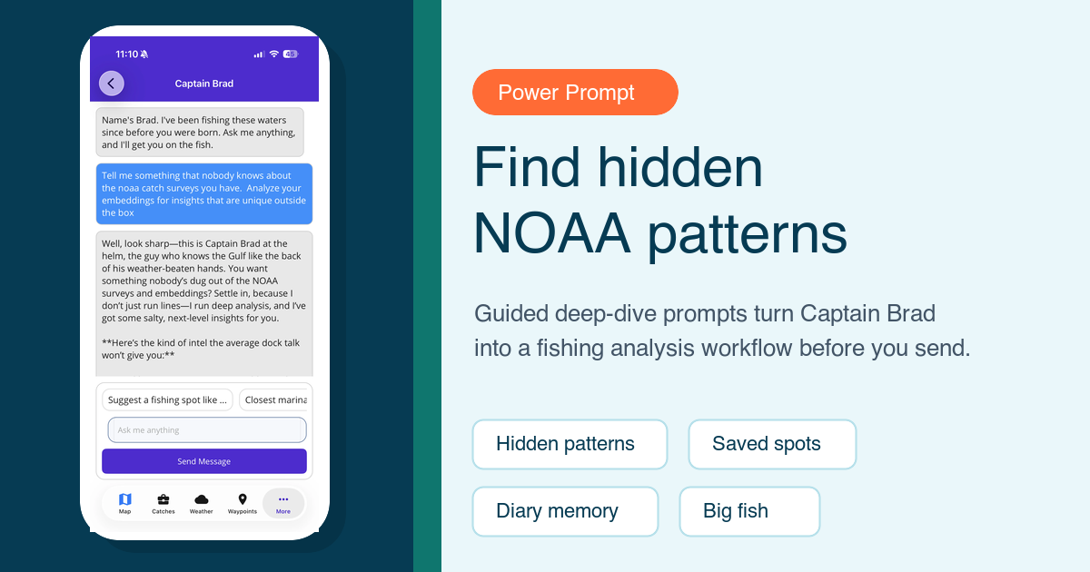
Captain Brad now has focused quick starts for trip planning, hidden patterns, spots, conditions, journals, waypoints, and hard-bottom scouting.
Open AI insightsDownload supported NOAA BlueTopo areas and use relief plus contour overlays to read bottom shape, ledges, channels, and depth changes faster.
Explore BlueTopo mapsHard Bottom now combines confirmed NOAA seabed points with additional structure markers, richer callouts, clustering, and bottom-sheet details for dense fishing areas.
See hard bottom mapsFishing Diary now sits beside catch logs and Captain Brad, keeping private trip notes close to the AI tools that can use them as planning context.
See Fishing DiaryCompare catch logs and diary notes by meaning, season, outcome, weather, location, species, and bottom structure in the new pattern-analysis workflow.
Explore pattern analysisThe beta view keeps catch logs and Fishing Diary entries separate, then compares them together by semantic similarity, season, outcome, and conditions. It is built for reviewing what repeated, what failed, and what is worth checking before the next trip.
Fish Fathom shows and downloads BlueTopo layers only where supported NOAA GeoTIFF products are available. Gulf and East Coast coverage are the first production focus for this release.
Fish Fathom is a planning companion, not a replacement for official charts, local judgment, or safety gear.