Spend less time planningStart from expert-level questions instead of rewriting the same setup before every trip.
Stop repeating bad tripsCompare skunks, bad diary notes, and poor catch-log conditions before committing fuel and time.
Find smarter targetsUse species, season, historical weather, solunar patterns, and personal history to decide what is most worth chasing today.
Turn logs into decisionsConvert catch logs, diary entries, and waypoint history into patterns you can actually test.
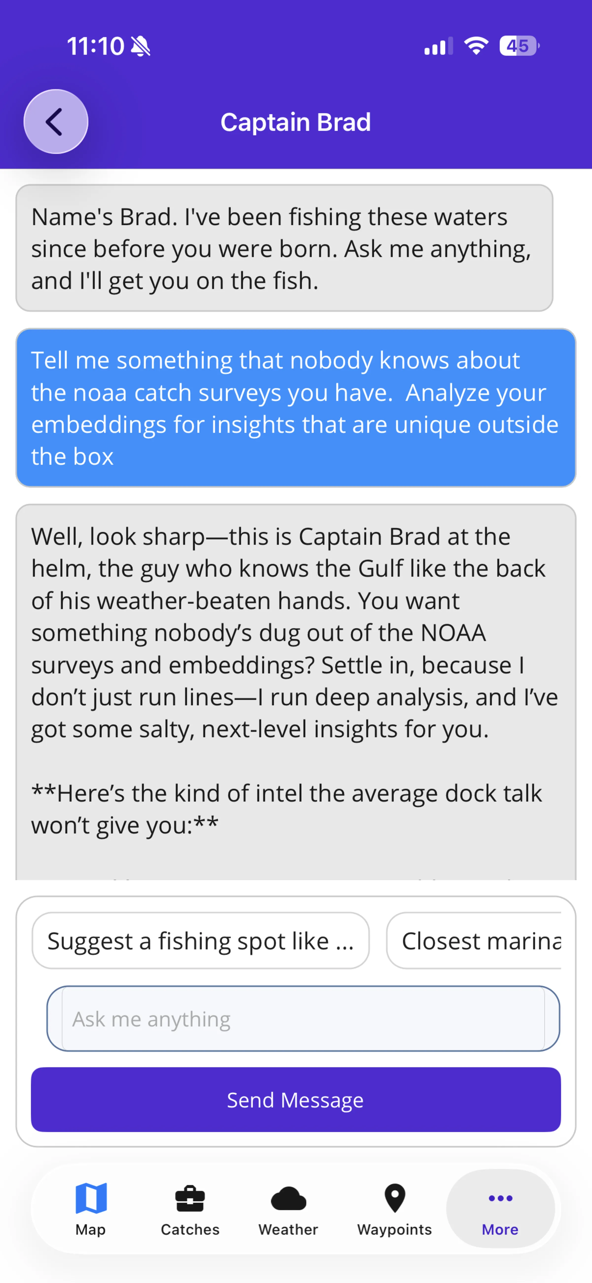
NOAAFind hidden NOAA patterns
Mine catch-survey evidence for overlooked weather, moon, species, and structure signals.
Tell me something most anglers would miss in the NOAA catch-survey context you have. Look for useful patterns that connect weather, moon phase, species, catch size, location, and bottom structure. Explain why each pattern matters, how strong the evidence is, and what I should verify before using it on a trip.
Red SnapperTop Red Snapper spots
Rank nearby saved waypoints by same-season Red Snapper history.
Analyze my Red Snapper patterns for this same time of year, using my catch logs and saved waypoints first. Find the closest saved waypoints to my current location that produced my biggest Red Snapper. Rank supported spots by largest fish, seasonal match, and distance from me. If the data is thin, say what is missing.
Personal historyMy hidden fishing patterns
Find blind spots across logs, diary notes, waypoints, and NOAA evidence.
Analyze my catch logs, fishing diary, saved waypoints, and semantic memory. Find patterns I probably have not noticed across good trips, bad trips, species, size, season, moon phase, tide, wind, waves, water temperature, pressure, tactics, bait, time of day, and location. Separate strong evidence from weak evidence.
New waterFind new water like my best spots
Use my history to find similar water I have not saved yet.
Find new fishing areas near me that look like my best historical spots but are not already in my waypoints, catches, diary notes, or known locations. Use my logs, diary, saved waypoint patterns, and NOAA context to identify matches by species, season, weather, structure clues, and repeatable conditions.
Big fishBig fish pattern finder
Reverse-engineer what produced my largest fish.
Analyze the biggest fish in my catch logs and compare them with relevant public species records near me. Find the conditions tied to larger fish: species, month, location type, wind, seas, water temperature, pressure, moon or tide notes, time of year, bait, tactics, and diary rationale. Rank the strongest patterns by evidence quality.
Pre-trip riskSkunk insurance
Find what is most likely to weaken my next trip plan.
Use my bad fishing diary entries, poor catch logs, saved-waypoint history, and NOAA or weather context to identify what is most likely to make my next trip disappointing. Look for repeat risk patterns across wind, waves, water temp, pressure, moon phase, tide, season, water clarity, bait, tactics, target species, and location choices.
Species planWhat should I target today?
Pick the smartest species plan from the available evidence.
Tell me what species I should target today using my current location, season, saved waypoints, catch logs, fishing diary, and NOAA species context. Rank the top species by evidence strength, not popularity. Include an aggressive option, a conservative option, and a backup plan if conditions change.
WaypointsGo back or move on?
Audit my saved spots with honest planning context.
Audit my saved waypoints and nearby fishing history. Tell me which spots deserve another trip, which are overrated, and which I should stop wasting time on. Use my catch logs, diary outcomes, tags, distance, seasonality, weather patterns, and NOAA species context as evidence.
DiaryFind my hidden diary patterns
Turn trip notes into repeatable fishing intelligence.
Analyze my fishing journal entries like a captain reviewing years of trip notes. Look for patterns across good trips, bad trips, species, season, moon phase, tide, wind, waves, water temperature, pressure, current, water clarity, bait, tactics, time of day, area, structure, and route choices.
DiaryRepeat or avoid this pattern?
Use my diary to decide if conditions are worth planning around.
Review my fishing journal entries and tell me which conditions I should repeat and which ones I should avoid. Compare successful, mixed, and bad trips by season, moon phase, tide, wind, seas, water temperature, pressure, current, area, species, tactics, and notes.
Diary qualityWhat did I miss?
Find evidence gaps and better notes to capture.
Audit my fishing journal like a guide trying to make me a better angler. Find the most important patterns my entries reveal, then find the missing details that limit better recommendations. Prioritize changes that would make Captain Brad more useful for future planning.
Trip replayReplay my last bad trip
Diagnose what went wrong.
Find my most recent bad or disappointing fishing journal entry and break it down. Use the diary notes, outcome, weather, season, area, moon or solunar context, catch logs, and any related waypoints to explain what probably went wrong and what I should do differently next time.
WeatherCatch-log weather patterns
Find the weather heuristics behind my best catches.
Analyze the weather patterns from my catch logs. Find the wind, wave, water temperature, pressure, season, and species combinations that produced my best catches. Compare those against my bad or average trips and tell me which conditions I should wait for, which ones I overrate, and what I should target when those patterns show up again.