Choose the species and range before you study the map.
Start with the fish you are actually chasing, the ports you can run from, and the areas that fit your fuel, time, and crew.
Fish Fathom brings the planning work into one mobile workflow: pick the target species and area, inspect structure, judge the weather window, save the route, download the map, ask Captain Brad, then review your private diary and catch patterns.
Premium from $5.99/mo or $44.99/yr. Built for planning, not scrolling.
The value is not one isolated feature. It is moving from intent to route to offline readiness without losing the evidence that shaped the decision.
Start with the fish you are actually chasing, the ports you can run from, and the areas that fit your fuel, time, and crew.
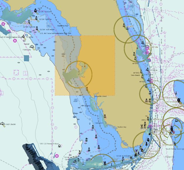
Compare bathymetry, relief, hard-bottom clues, public survey context, and saved marks so every stop has a reason behind it.
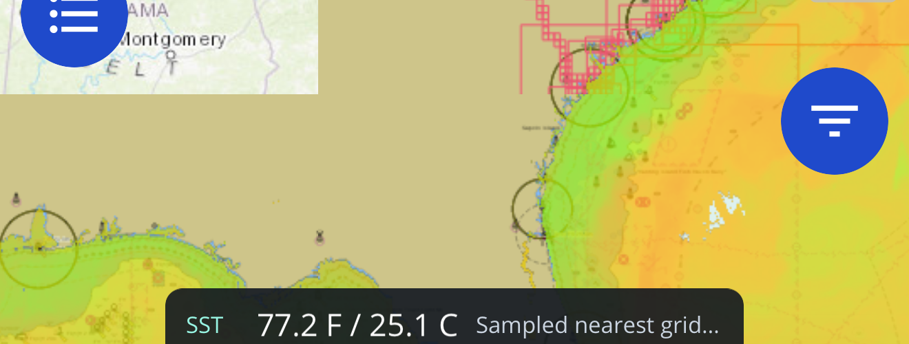
Review wind, seas, water conditions, and alerts before committing to a run that depends on timing and a safe return.
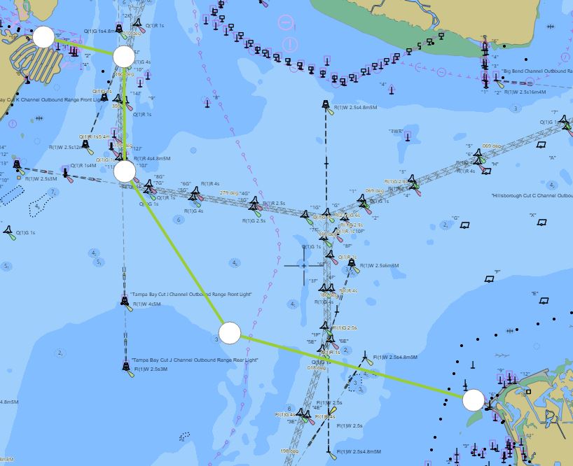
Turn the plan into navigable marks, route legs, and downloaded map coverage before cell service gets unreliable offshore.
Frame the trip around target species, likely depth bands, travel range, and the coastline or offshore grounds you can realistically fish.
Use contours, relief, bottom context, and nearby saved history to narrow which edges, humps, ledges, and breaks deserve time.
Compare marine conditions, alerts, wind, waves, and timing so the plan fits the actual window instead of a stale hunch.
Save marks, organize route legs, and keep the return path visible alongside the structure and conditions that shaped the plan.
Download the map area and supported layers before departure so core navigation context stays available when service fades.
Ask Captain Brad to compare your plan against map evidence, weather context, and your own fishing history when you choose to use it.
A productive planning session should end with something concrete: saved waypoints, a route that respects the run, downloaded map coverage, and a clear reason for each stop. Fish Fathom keeps those pieces tied to the map instead of scattered across screenshots, texts, and memory.
See waypoint planning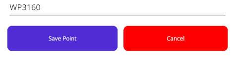
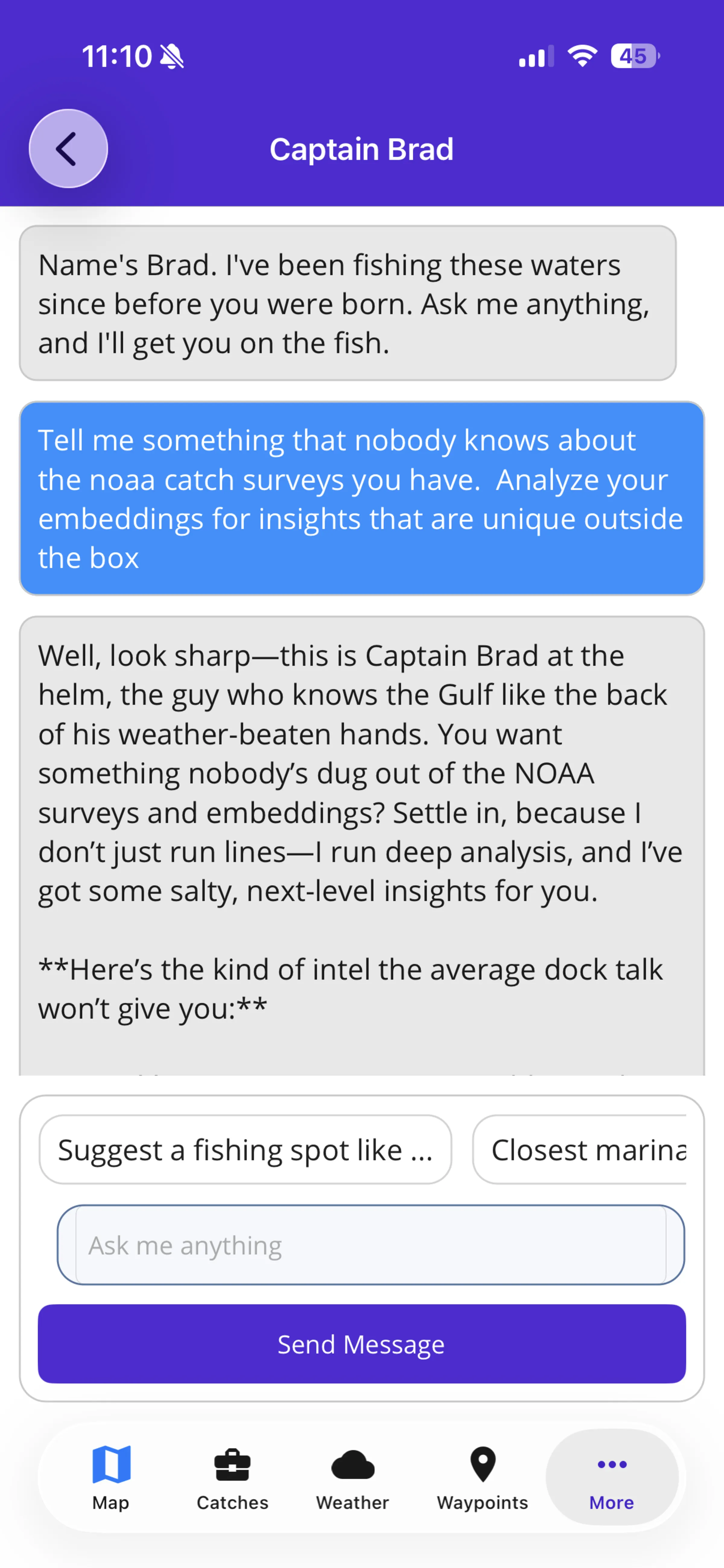
Captain Brad can help pressure-test the plan when you choose to bring in your saved waypoints, catch logs, diary entries, map context, and conditions. Use it to compare options, surface overlooked constraints, and turn a rough idea into a more defensible offshore plan.
Explore Captain BradOffshore planning gets better when the app can remember more than catches. Diary notes capture hunches, missed bites, changing conditions, crew observations, and decisions you want to revisit later.
Once the target area, stops, and route make sense, download the supported map coverage before departure. Fresh connected layers and AI still require service, but your core downloaded navigation context is ready for the water.
Review offline mapsFish Fathom is for anglers who want structure, weather, history, waypoints, routes, and offline readiness in the same serious planning workflow.