🏛️Official Government Data

NOAA Fish Survey Data

Access official government fish survey data showing exactly where species are found in the Gulf of America

NOAA Fish Survey Data Visualization showing species distribution

What are NOAA Fish Surveys?

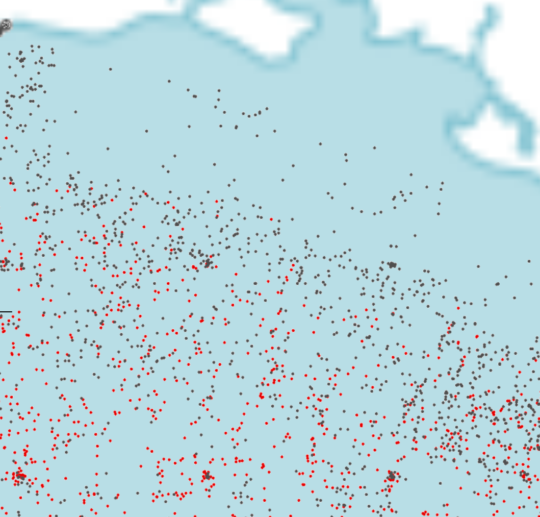
NOAA (National Oceanic and Atmospheric Administration) Fisheries conducts scientific surveys to assess the abundance and distribution of fish species in US waters. These surveys are the gold standard for fisheries management - the official data that governments, scientists, and commercial fisheries rely on.

Unlike crowd-sourced fishing reports or angler estimates, NOAA surveys use standardized scientific methods to collect accurate, unbiased data. Survey vessels deploy specialized gear at predetermined locations, recording every fish caught along with size, age, reproductive status, and environmental conditions like water temperature, salinity, and depth.

This data is essential for understanding fish populations, their habitats, and seasonal movements. By visualizing this official data on Fish Fathom, you gain access to scientific intelligence that was previously available only to researchers and fisheries managers. Now you can fish with the same data the professionals use.

Survey Data Coverage

Species Covered

  • Red Snapper
  • Red Grouper
  • Gag Grouper
  • Yellowedge Grouper
  • Additional Gulf species

Geographic Region

  • Gulf of America (entire region)
  • Offshore and nearshore waters
  • Multiple depth zones
  • Comprehensive coverage

Data Timeframe

  • 10+ years of historical data
  • Seasonal trend analysis
  • Migration pattern tracking
  • Population dynamics

How Fish Fathom Visualizes Survey Data

1

Official Data Source

We import official NOAA fish survey data, including catch locations, species counts, sizes, and environmental conditions.

2

Map Visualization

Survey locations are plotted on high-resolution maps, showing you exactly where NOAA researchers caught each species.

3

Interactive Filtering

Filter by species, depth range, time period, and catch size to find the most relevant data for your fishing trip.

4

Navigate to Hotspots

Tap any survey point to see details, then navigate directly to productive fishing areas with GPS guidance.

Why Trust NOAA Survey Data?

🔬

Scientific Rigor

Standardized survey methods ensure consistent, reliable data collection year after year.

🏛️

Government Authority

NOAA is the official US government agency responsible for fisheries science and management.

📊

Unbiased Data

Unlike fishing reports, NOAA data is collected scientifically without bias or exaggeration.

🗓️

Long-Term History

10+ years of data reveals seasonal patterns, migration routes, and population trends.

🌊

Environmental Context

Survey data includes water temp, depth, salinity - helping you understand fish behavior.

Peer-Reviewed

NOAA data undergoes rigorous peer review and quality control before publication.

Benefits of NOAA Survey Data

  • Know Where Fish Actually Are: Survey data shows confirmed catch locations, not guesses or rumors
  • Seasonal Insights: Identify when and where species are most abundant throughout the year
  • Target Trophy Fish: Survey data includes fish sizes - find areas with larger specimens
  • Optimize Your Trip: Plan fishing trips based on scientific data, not guesswork
  • Conservation-Minded: Understanding fish populations helps you make sustainable fishing decisions

Ready to Fish with Official Data?

Stop relying on rumors. Start using science.