Make it local
A useful template names species, depth ranges, structure types, access constraints, and weather patterns that matter in that region.
Regional planning works best when the template forces the right questions: target species, structure, season, source coverage, route exposure, weather window, private history, and post-trip learning.
Built for clubs, shops, captains, and creators who need region-specific planning pages without making brittle catch claims.
A useful template names species, depth ranges, structure types, access constraints, and weather patterns that matter in that region.
Regional source coverage, regulations, seasons, and local safety constraints change. The template keeps those limits visible.
Every region page should feed post-trip notes back into the next route, waypoint, and Captain Brad planning question.
This template is built for regional guides, club notes, shop handouts, and creator planning breakdowns.
Name the coastline, ports, ramps, passes, typical run distance, and route exposure that shape the plan.
Name the species focus and the time of year when anglers typically ask the planning question.
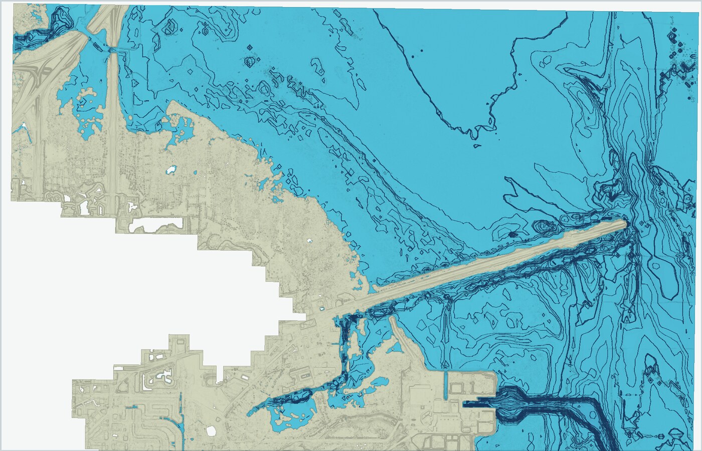
Describe relevant ledges, reefs, wrecks, channels, hard bottom, contours, bait zones, or current edges.
Explain which map or public-data layers help and where coverage, source age, or resolution may vary.
Write the wind, sea, daylight, tide/current, or inlet condition that usually controls whether the trip runs.
List how saved marks, routes, catch logs, diary notes, and tags should improve the next regional trip.
Point readers to current official regulations, forecasts, navigation tools, and local safety judgment.
Capture what changed: bait, pressure, water, structure, route timing, or reason the plan should be revised.
Use the fields to keep regional pages practical rather than generic.
Example: Gulf red snapper, Gulf gag grouper, East Coast wrecks, Great Lakes structure, or a local reef zone.
What decision should the angler make after reading the page?
Which Fish Fathom layers or public sources help explain the structure, water, or route context?
Which waypoints, diary notes, catch logs, or tags should the angler compare before leaving?
Regulations, seasons, safety, access, coverage limits, weather exposure, or conservation constraints.
The best follow-up page: maps, weather windows, trip planner, spot privacy, or a species page.
Regional templates give partners a framework they can localize, link to, and discuss without needing Fish Fathom to publish every local detail at once.
Use the template to turn a monthly species topic into a practical planning resource.
Help customers write a region-specific trip plan before buying tackle or booking fuel.
Use the same structure across regions so viewers understand the decision process, not just the outcome.