A palette with purpose.
A fixed depth scale moves from warm shallows through green, cyan, blue, and indigo into the deep. The same base color represents the same source depth across the layer.
FISH FATHOM · CUSTOM BATHYMETRY
See the shape.
Find your next mark.
NOAA BlueTopo depth data, finished with our custom color palette and sculpted slope illumination. A richer way to study the bottom before you make the run.
Download available coverage. Take the detail offshore.
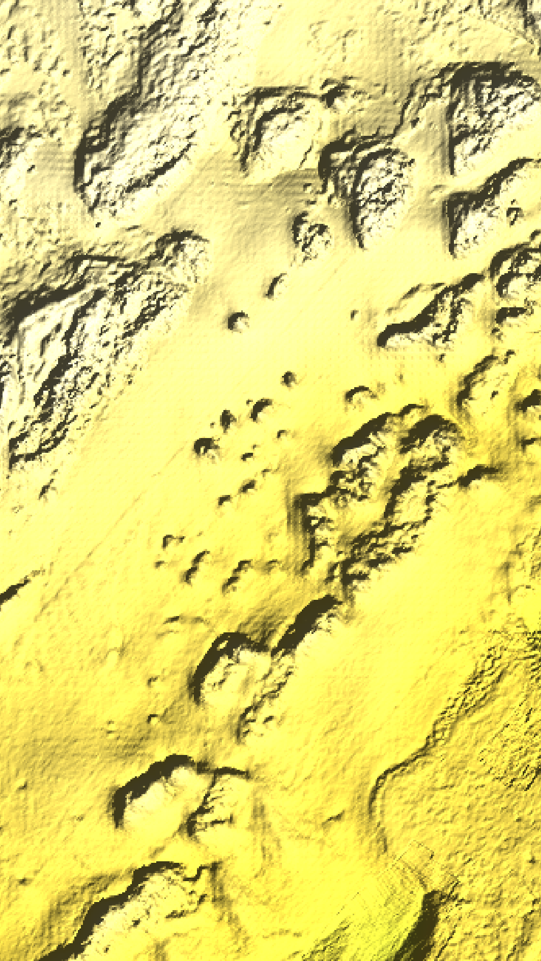
THE FISH FATHOM FINISH
We customize how the seafloor is presented, preserving the underlying NOAA elevations. Every part of the finish has a job: separate depth, reveal transitions, and make the map easier to study.
A fixed depth scale moves from warm shallows through green, cyan, blue, and indigo into the deep. The same base color represents the same source depth across the layer.
Extra color separation from 50–200 feet helps you compare the depth bands around shelf edges, channels, and candidate fishing structure.
Custom directional lighting applies 30× visual slope emphasis to the source terrain. Subtle transitions gain texture while the measured depth values stay unchanged.
COLOR YOU CAN READ
Base palette stops in feet below the source datum. Illumination brightens and darkens these colors to show slope texture; shadows alone do not tell you depth.
CRAFTED FROM THE SOURCE
Our rendering works from native NOAA BlueTopo elevation samples, converts depth to feet, and prepares map-ready imagery for offline use. Land and missing data remain transparent so the layer sits cleanly over your map.
Directional illumination is tuned in the generated imagery. The Florida Keys example reveals the fine texture in the published bottom data. Coverage and available detail depend on NOAA’s published source data; saved downloads need a refresh to pick up regenerated tiles.
Explore BlueTopo layers and coverageSee the wider app experience in product screenshots and store listings. Custom relief availability depends on source coverage and your platform’s eligible Premium entitlement.
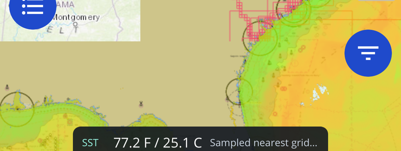
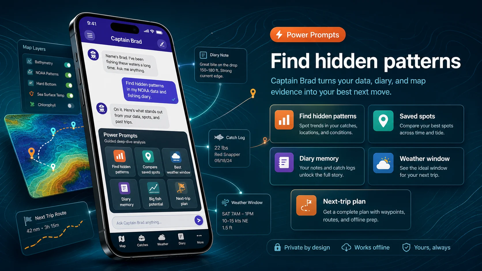
Screenshots show map layers, Captain Brad, catch history, and offline prep instead of generic fishing art.
App Store, Google Play, and Microsoft Store pages stay one click away for current screenshots, version details, privacy labels, and reviews.
Fish Fathom supports trip decisions and is not a substitute for required navigation, regulations, safety gear, or local judgment.
YOUR NEXT RUN STARTS HERE
In Download Maps, select Blue Topo Custom Relief where coverage is available. Save your area, turn on the layer, and adjust opacity alongside your waypoints and routes. A signed-in eligible Premium account is required.
Premium from $5.99/mo or $44.99/yr.
BlueTopo is planning context, not a navigation chart. Depths are relative to the source datum, not current water clearance. Use official charts and current conditions.